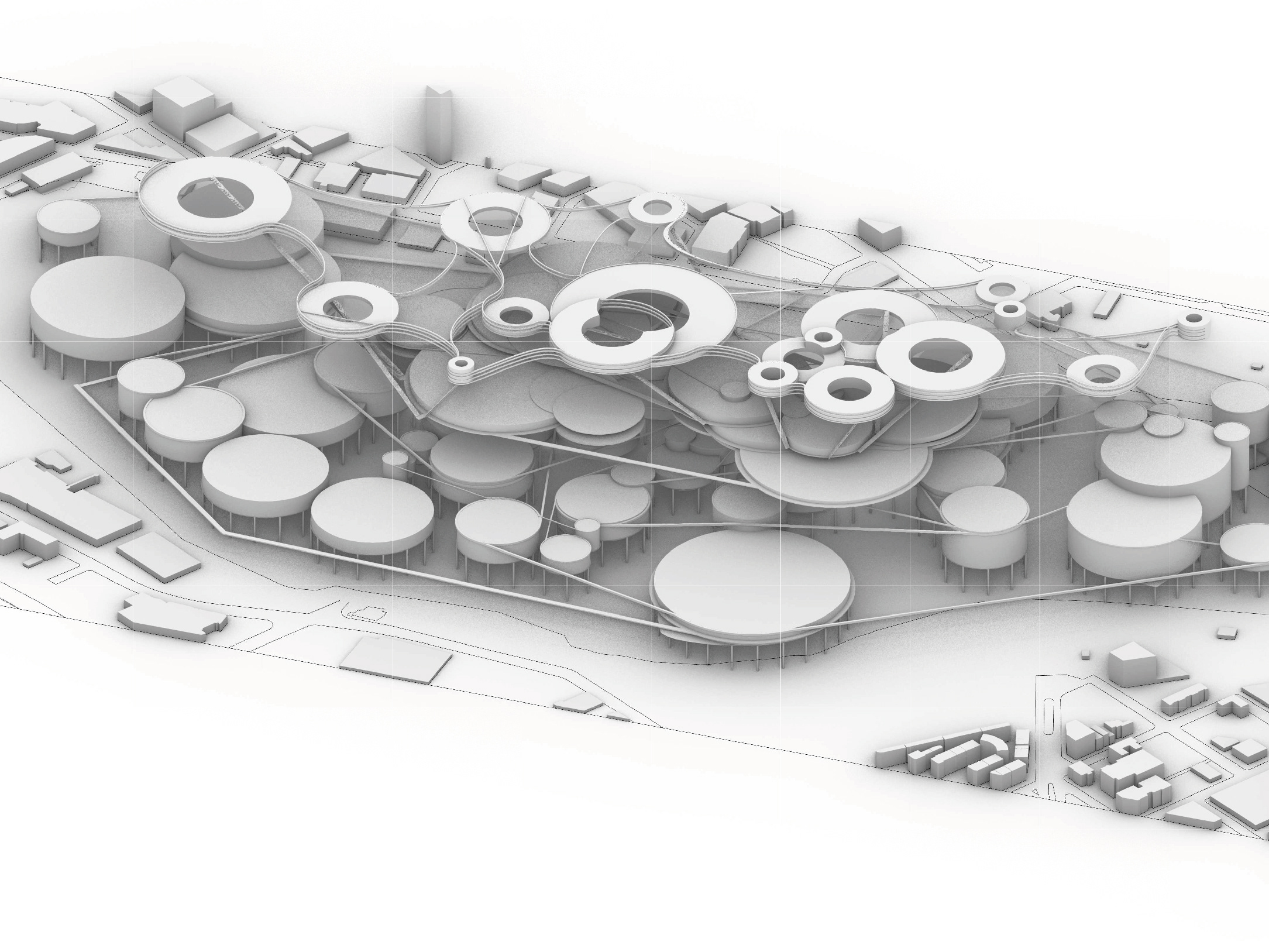
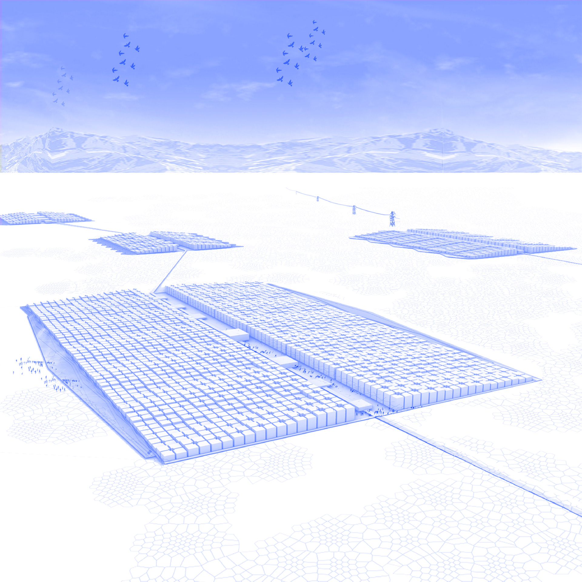
The project is a system of urbanizations that are strategically deployed on the site to different degrees, activating and deactivating according to the production processes of the salar.The system appropriates the logic and intelligence of the studied models, understanding that each one generates different types of organization and community.
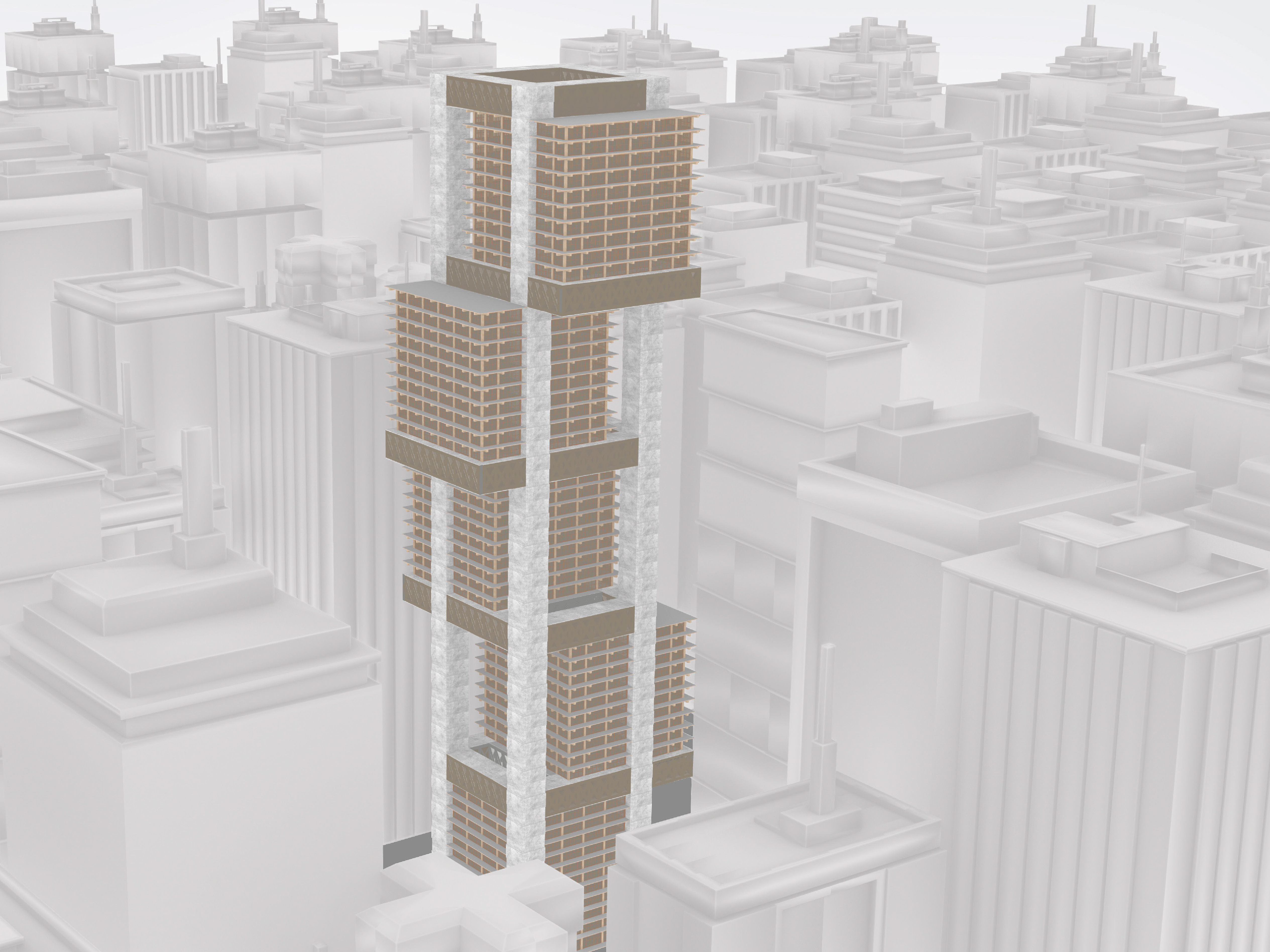
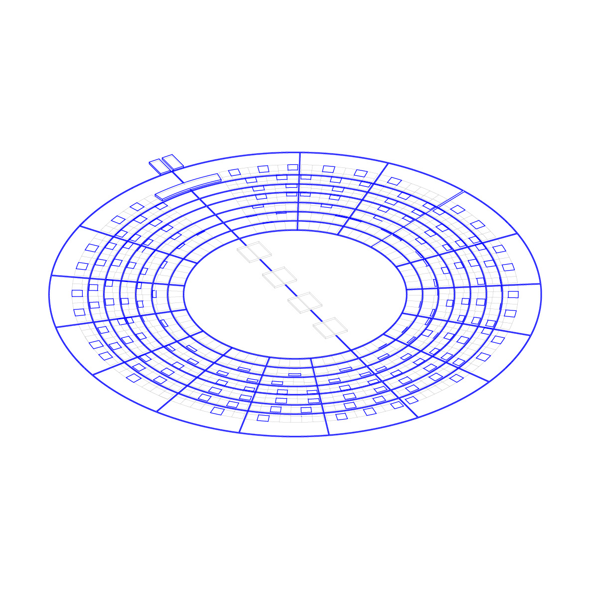
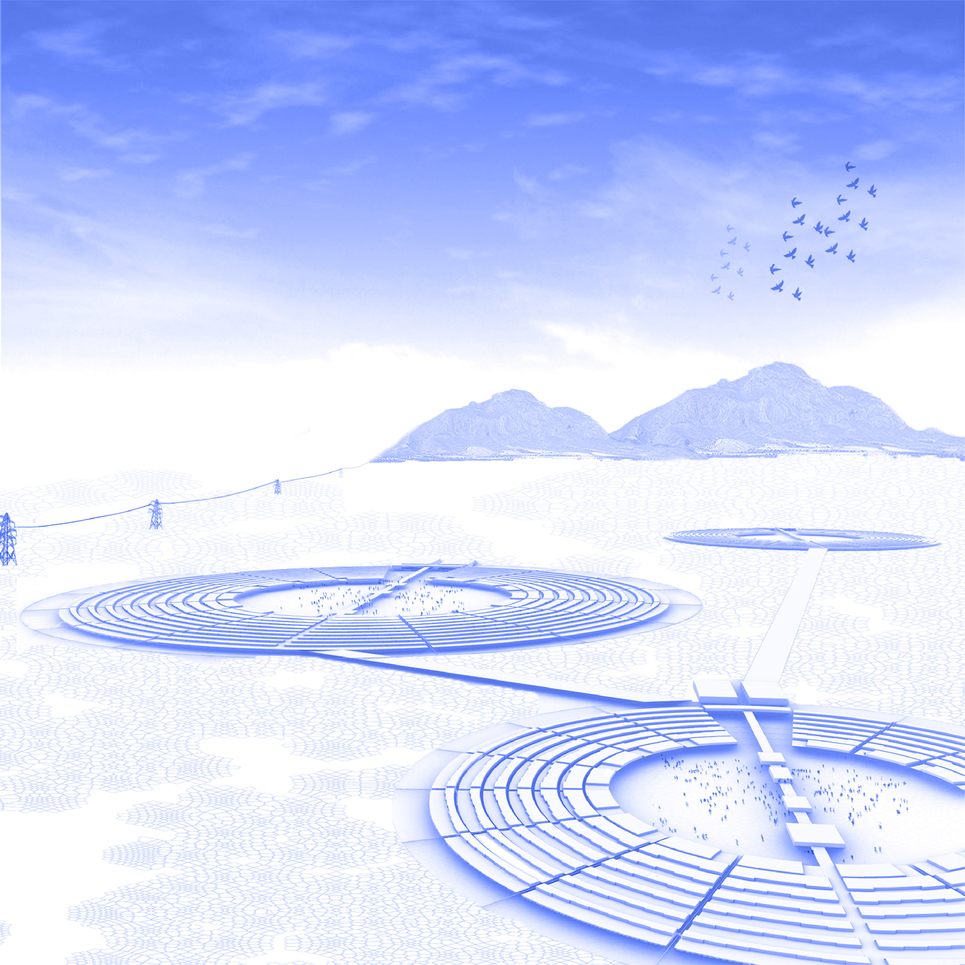
On the one hand, there is a device that is organized radially and that concentrates less density, generating a unique and central public space, but with a lot of relationship between the people who inhabit it. And, on the other hand, a device that is organized in a linear way, generating fragmented semi-public spaces, concentrating the density that lives in height.
The efficient construction of infrastructure is linked to organizational systems. It is understood that the radial organization is the most efficient way for crop rotation by the pivot irrigation system. Likewise, the linear organization system is understood as the most appropriate to generate a water system, capable of being contained in a progression of edges that responds to the linear process of water purification.
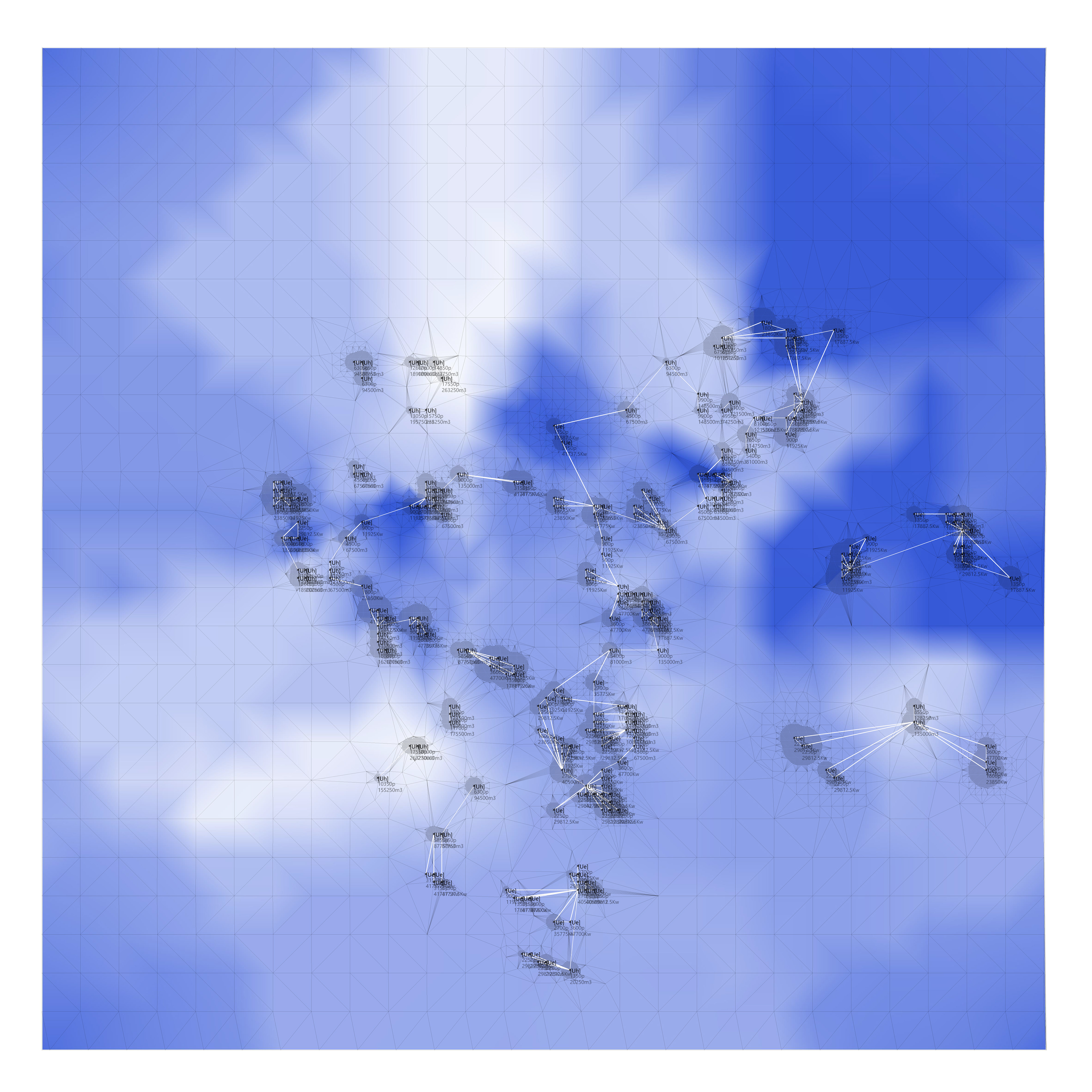
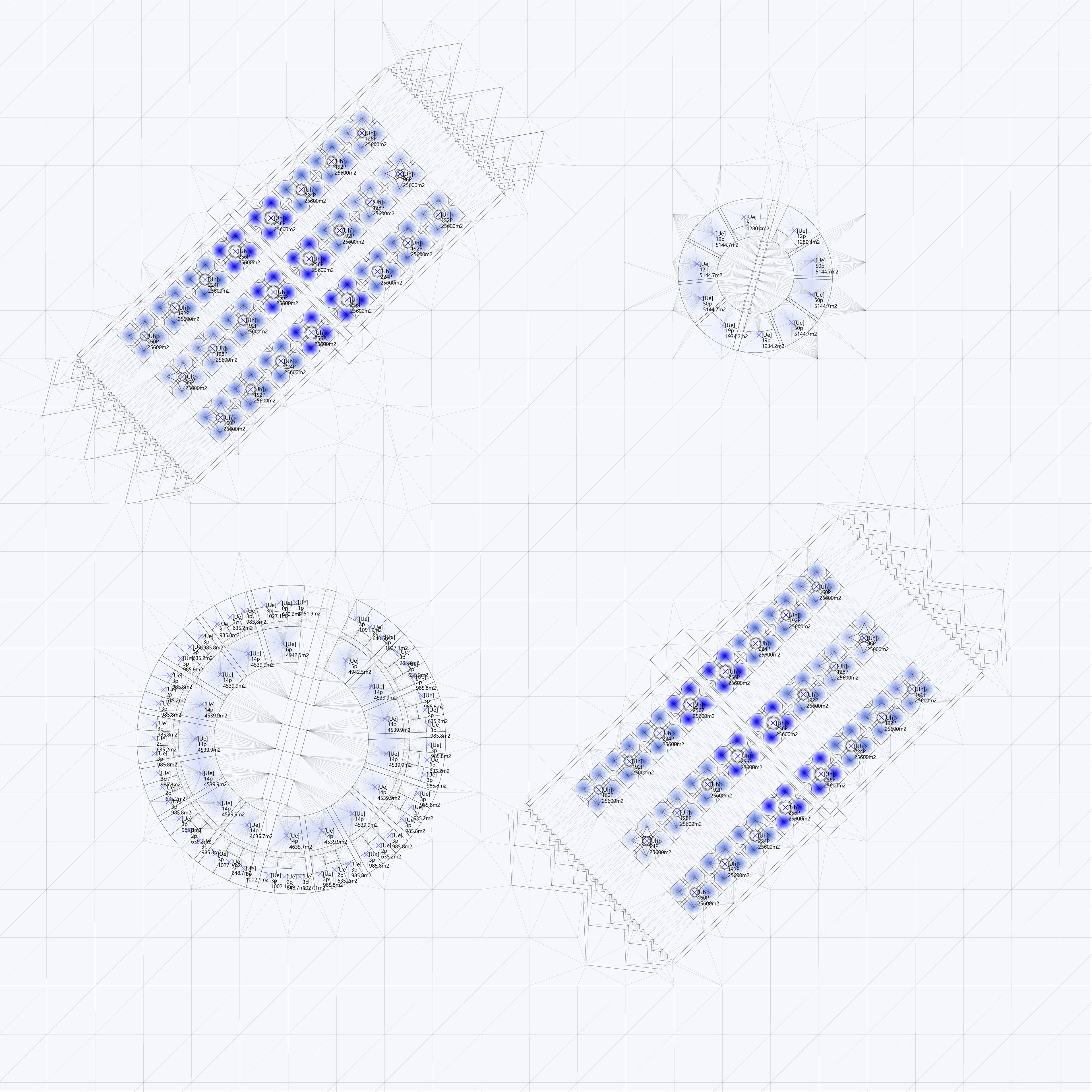
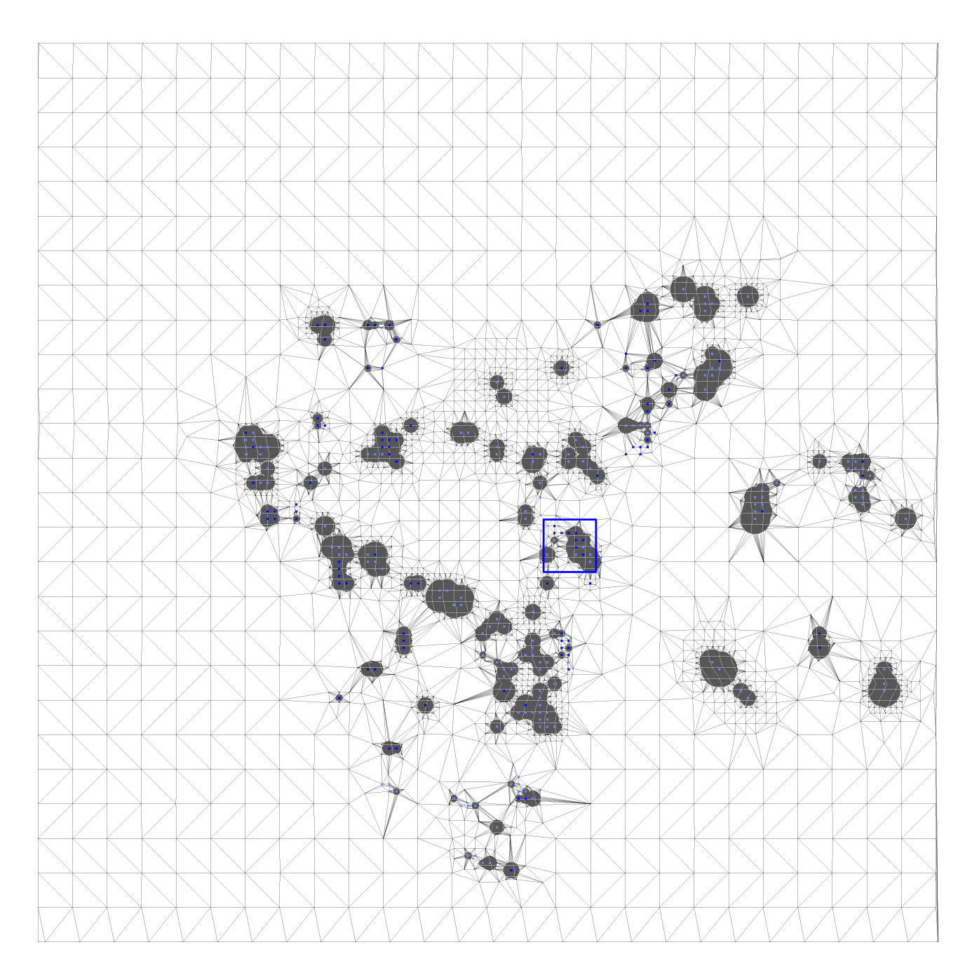
00_ The strategy used for the deployment of the model on the site is based on the analysis of the distribution of the population in the salt flat, in which a disparity in its distribution is identified. From this analysis, the nodes of high (in blue) and low concentration of people are distinguished, which allows a first deployment of the prototypes.
01_In a second analysis, one of the intensive properties of the salt flat is analyzed: the presence of lithium in the soil. From this, the more or less prone areas for the crop rotation system are distinguished; being the blue color the place where there is the highest concentration of lithium. Said analysis allows the pre-dimension of the total area that will be destined for solar panels.
02_In a third analysis, the distances between water developments and reservoirs are analyzed. The bluer the greater the proximity, which means that they will have the entry of a greater flow of water. Like the previous analysis, it is used for the preliminary dimensioning of the water infrastructure system.
03_In a fourth analysis, the supply capacity of urbanizations is measured with respect to the flow of infrastructures. In the white zones, they are the places where there is the greatest production of electricity, and in the blue zones, the places where the greatest flow of water is treated.
04_In a fifth analysis, the urbanizations of both types begin to be related, creating a supply network, in order to identify those that are in infrastructure deficit, with blue being the areas where there is the greatest lack of supply. In this way, those relationships that generate an imbalance in the system are identified.
05_In this analysis, the urbanizations are reorganized with respect to the lack of infrastructure identified above. Since, the balance of the system requires redefining the type of urbanization implemented, in order to achieve a correct distribution of infrastructure in said supply network.
06_Once the supply network has been balanced and the implementation of the prototypes has been defined, the mesh is redefined based on the analysis of the distances between them; determining in this way, which will be those urbanizations that will not only supply themselves, but also the others. Being able to identify in blue the nodes with the highest water flow, and in white, the highest production of electrical energy.
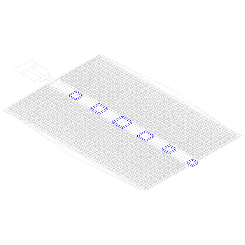
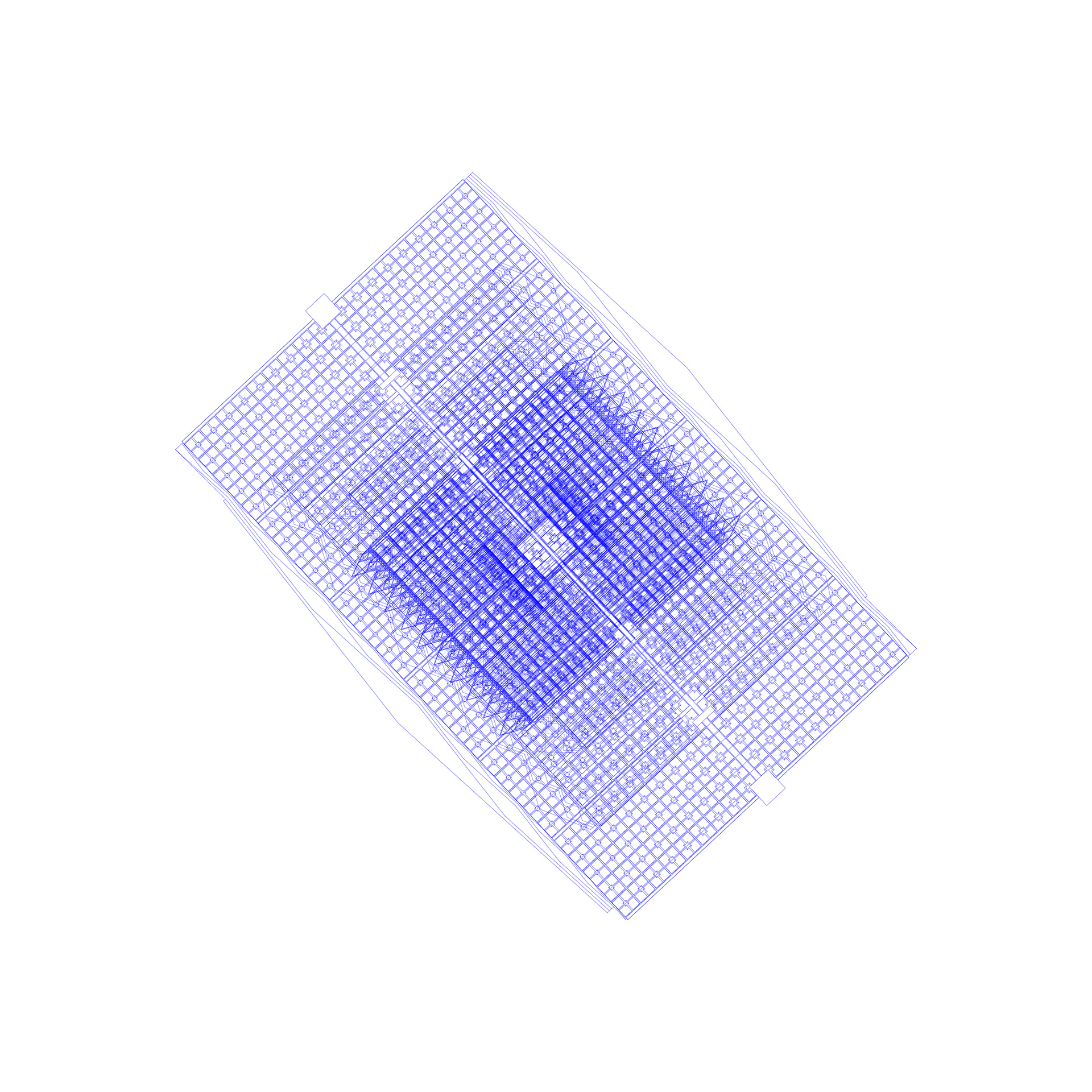
07_Once the prototypes have been implemented, the maximum areas of the urbanization are defined based on the number of people it houses.
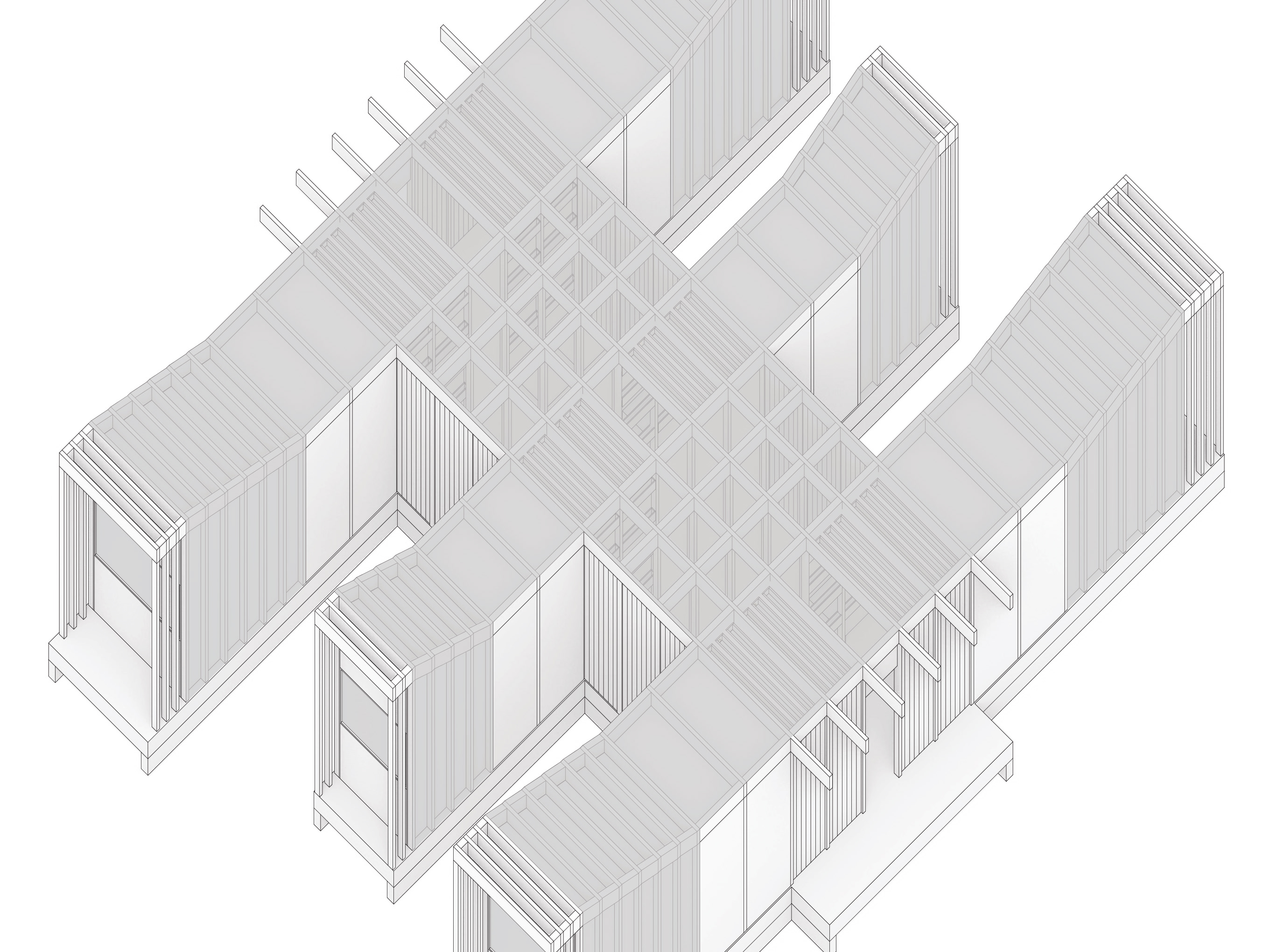
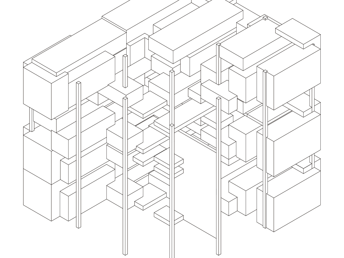
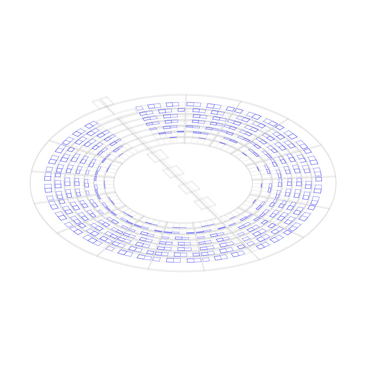
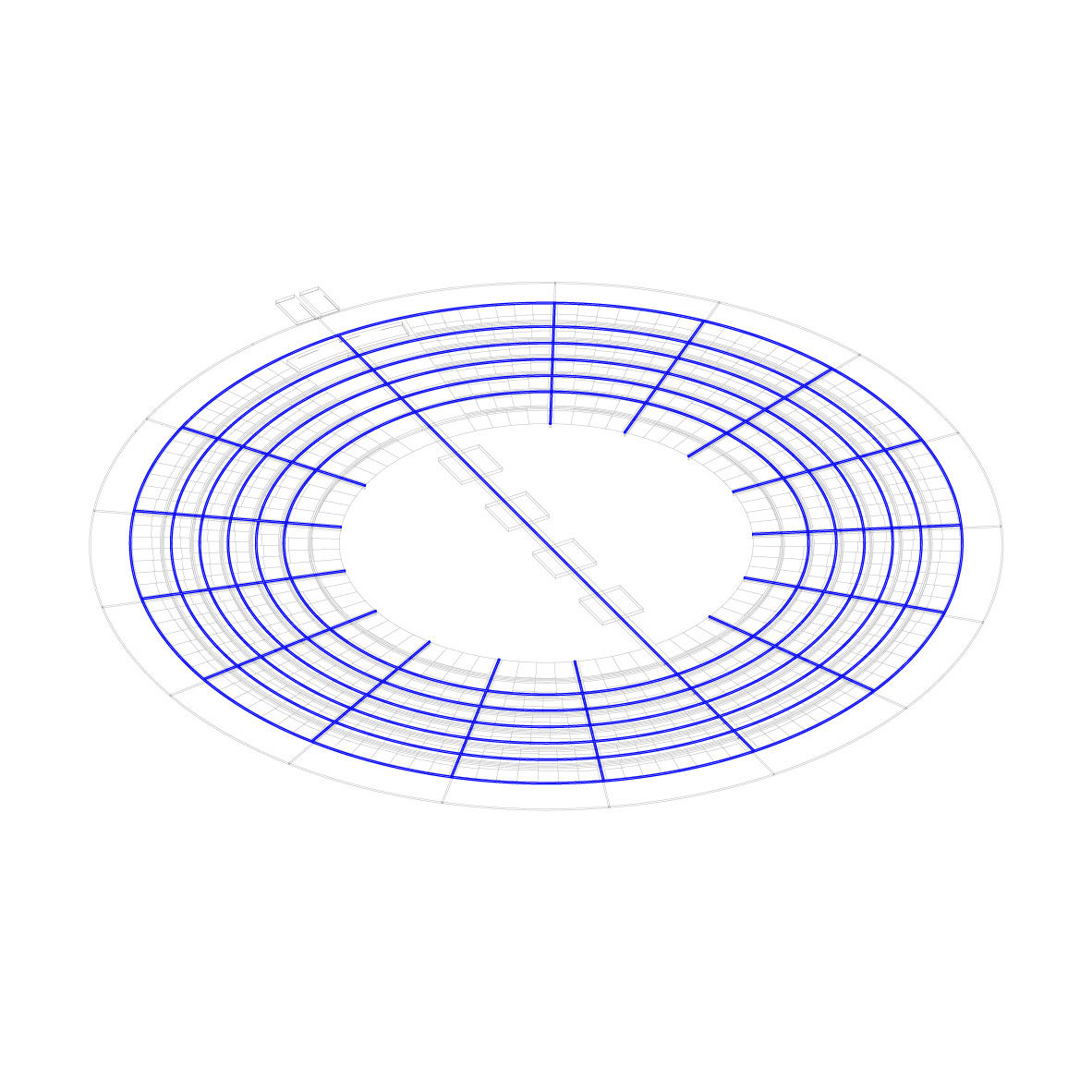
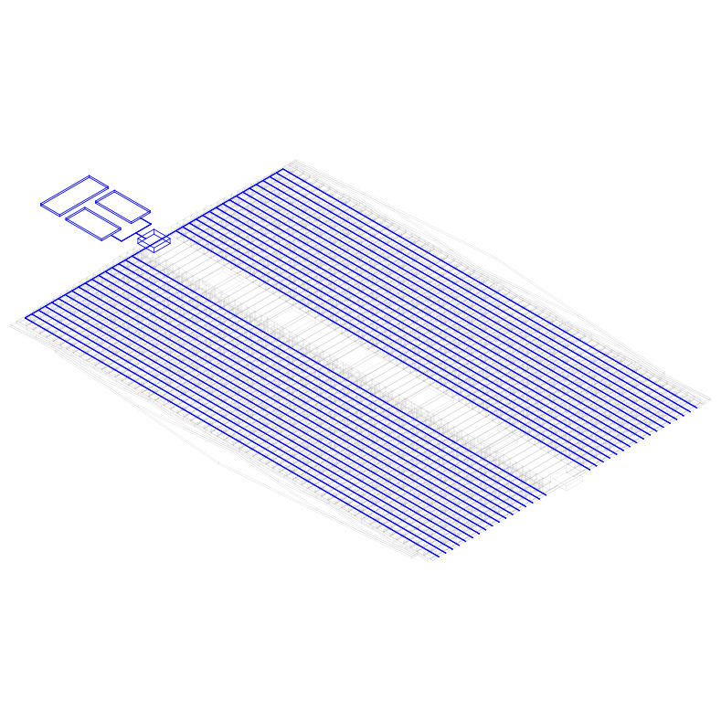
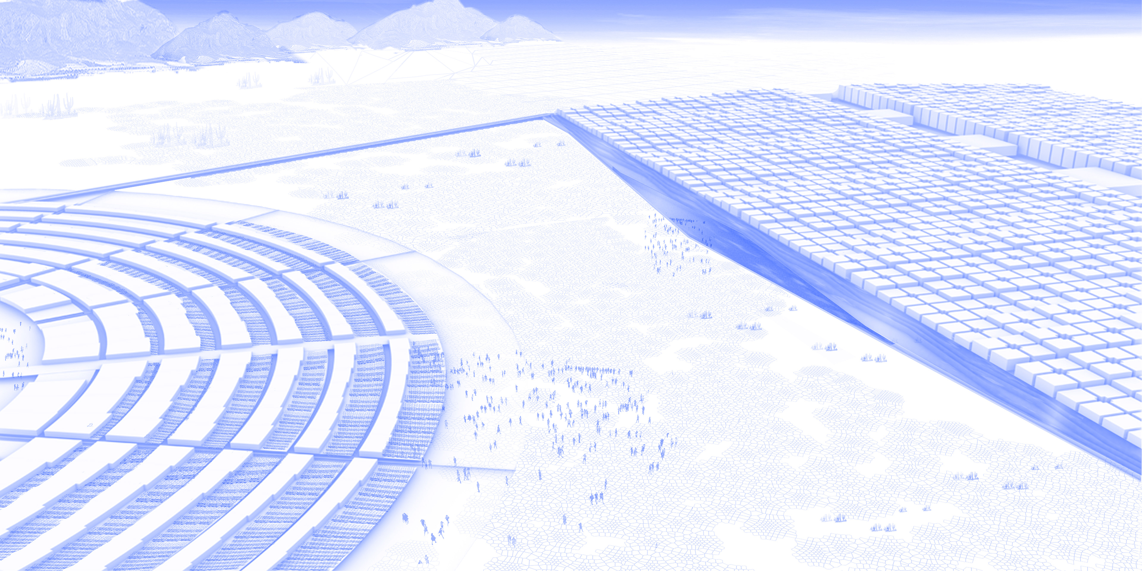
08_Then, the internal circulation network is built for each urbanization, which includes a main road and a series of secondary roads. The dimensions of these are adapted to the total area of the urbanization.
09_The urbanization plots are built. On the one hand, there will be those that are organized in a modular way and allow the accumulation of floors in height; the urban design allows a greater height reaching towards the main avenue. Likewise, different internal semi-public spaces are generated. On the other hand, there will be those that are organized radially, keeping the same frontage measurement, but reducing the proportion of the plot's buildable area as it moves away from the center; the rest will be assigned to carry out another activity. Likewise, the public space is concentrated in a single and central area.
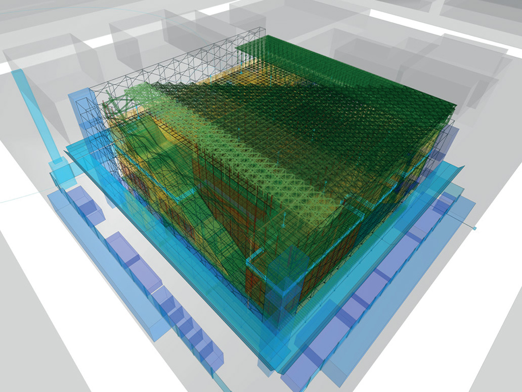
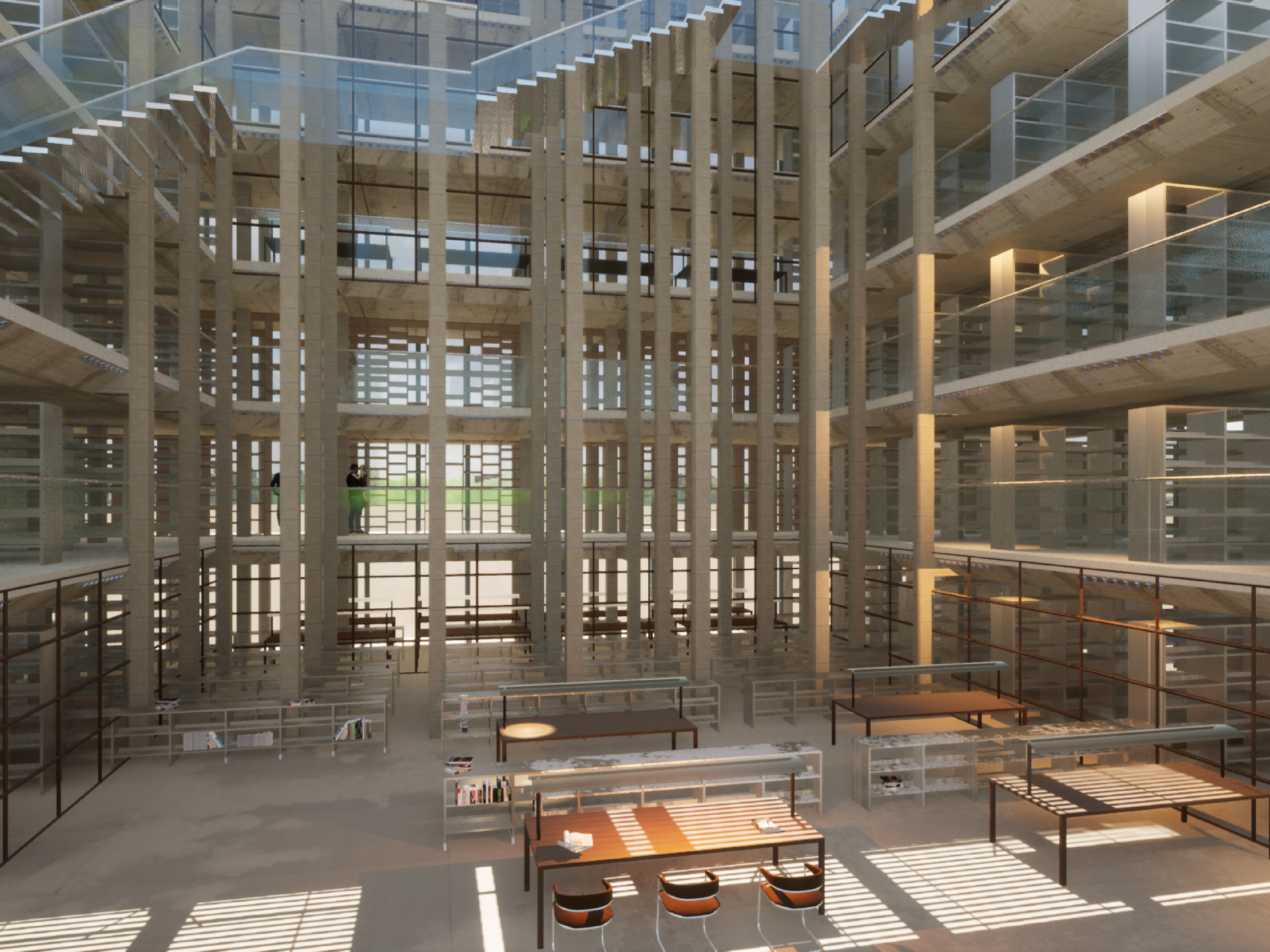
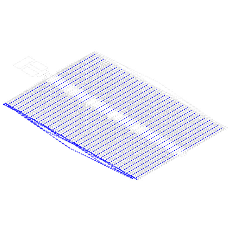
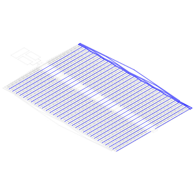
10_In this step, the infrastructure systems corresponding to each prototype are dimensioned. For the Water Urbanization, the flow of water necessary to supply the urbanizations is determined. The different treatments of this are going to be ordered from outside to inside, running a logic from less treated to more treated as it approaches the urbanization. The first process is the collection of rainwater and water that enters the reservoirs. Then, the rainwater separator process; the tank tank; and, finally, the filter that splits into 50% drinking water and 50% purified water for use. The water is distributed to the houses perpendicular to the edge and through the sewage pipes it reaches the other end where the residual water is going to be purified, which is going to be used for the irrigation of the agriculture of the other type of urbanization. The Electric Urbanization will present an irrigation system that will give the possibility of building a rotating agriculture system which will include a portion of plots dedicated to the installation of solar panels, which will collect electrical energy.
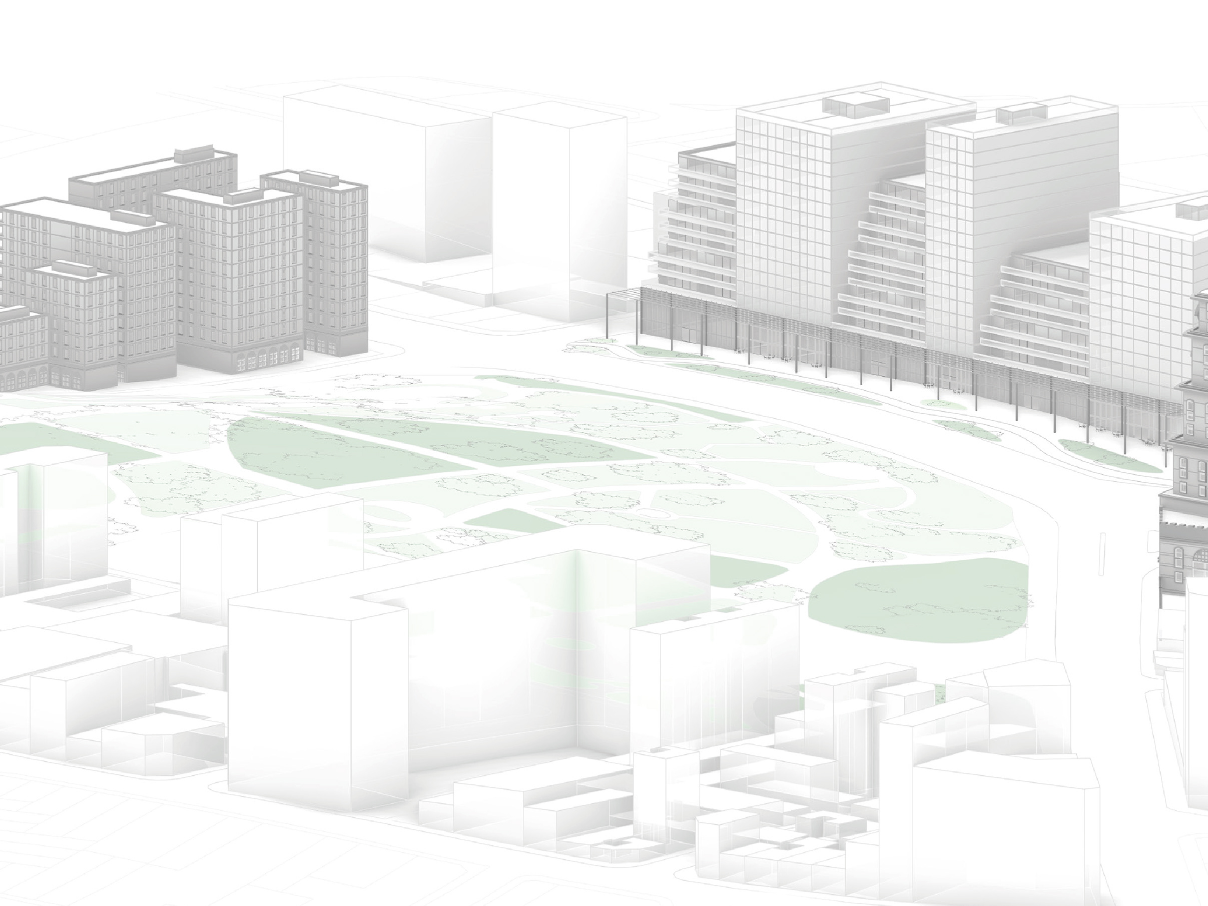
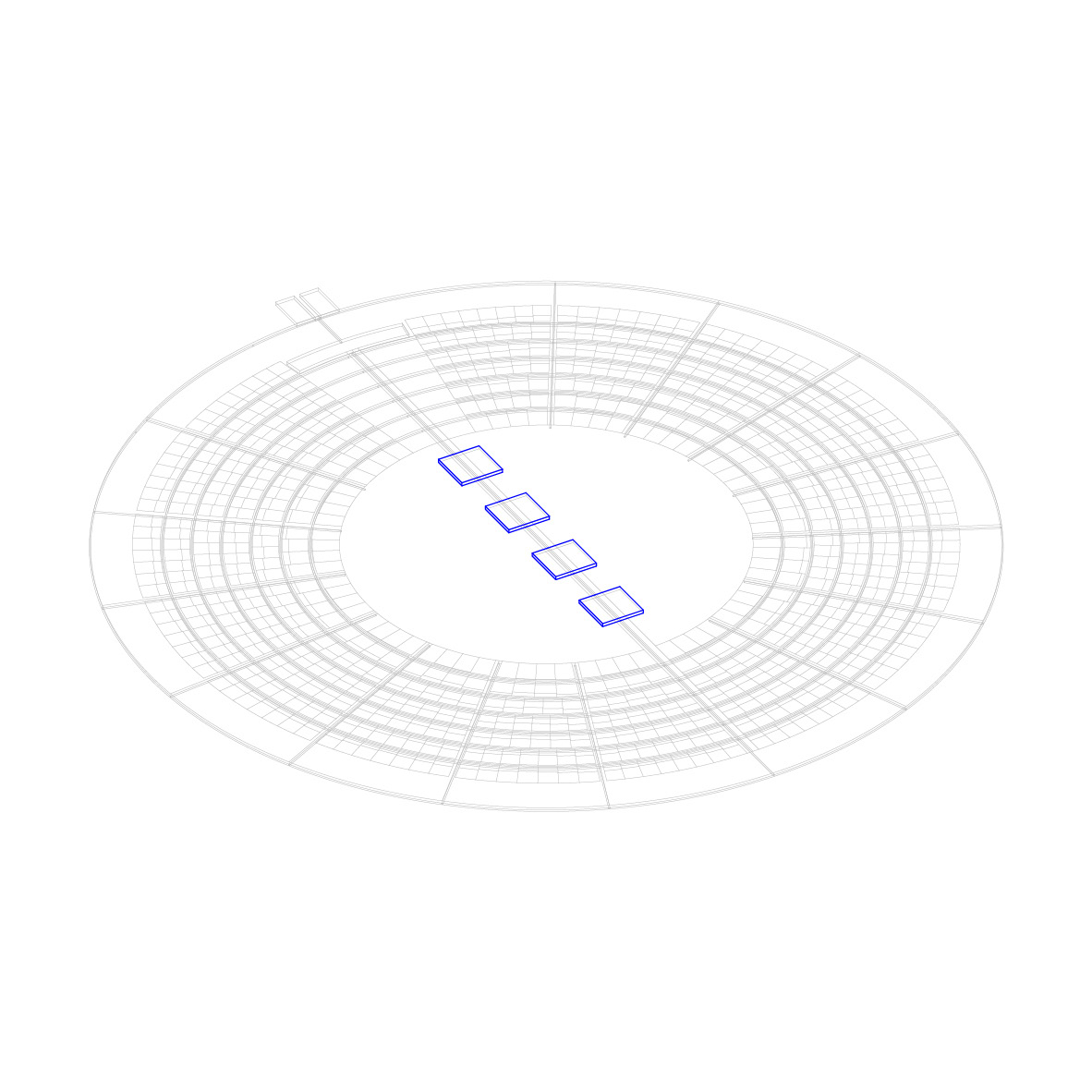
11_Finally, public programs are arranged on the main road. The size and number of these will depend on the amount of population. All developments will contain the same type of program, but to a different degree. For example, in terms of health, a larger urbanization will have a hospital; and a minor urbanization, a small room.
So, the project appropriates the intelligence that it distills from models of ephemeral urbanization to enhance the multiple durations of the salt flat, overcoming its processes, through water purification, the generation of electrical energy and the cultivation of rotating agriculture. In this way, he builds his landscape from the links with his environment, transforming them through the rethinking of new ways of living.